From millimeters to pixels
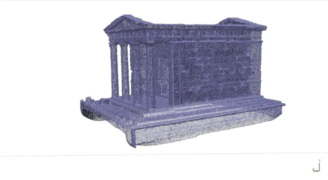
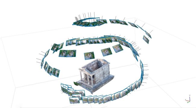
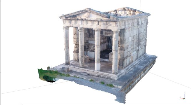
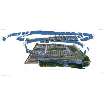
The ability to realize precise measurements on its exhibits is a very useful tool in every museum. This is done quite easily if the item is within the museum space and is manageable. Nevertheless, things differ when we speak about items of a special shape and size, items which do not lie within the premises of the museum or even when we wish to find out the dimensions of a whole archaeological excavation or a geographical district. Through a specific method of photography and by measuring certain dimensions – depending on the item of the photogrammetric depiction- there can be created a 3D model or a photograph on which the printed dimensions are precise and which can be used for measurements and drawing a lot of other information. The photogrammetric depiction may be realized by means of a number of photographic media, such as drones, hand-held or even submersible cameras. In the case of drones, the procedure is called aerial-photogrammetry.
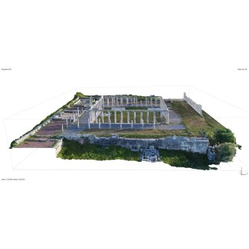
Apart from the above, photogrammetry is widely used in the field of topography since it captures precisely the characteristics and morphology of the ground.

